

Is Snoqualmie Falls a Good Day Trip from Seattle?
Snoqualmie Falls is about 29.2 miles from Marco Polo Motel, making it a manageable Seattle outing by car. The falls are 270 feet high, and more than 1.5 million people visit each year. Admission is free, and the site is open from sunrise until sunset every day.
The upper park has two observation decks, several viewing areas, a visitor center, and Salish Lodge nearby. There’s also a lower viewing area, reached by trail or by driving to the lower parking lot. You can keep the visit focused on the upper viewpoints or add the downhill hike for a closer look at the river and falls.
If you’re dividing your time between the outing and Seattle, the one-day Seattle itinerary can help you plan the city portion of your stay.
Driving and Other Route Options
Driving is the route option described in the available directions. From downtown Seattle, the drive is listed as 29 miles: take I-90 East, use exit 25 for WA-18/Snoqualmie Parkway, then continue on Snoqualmie Parkway and Railroad Avenue. The listed address is 6501 Railroad Ave SE, Snoqualmie, Washington 98024.
If you’re relying on public transportation around Seattle before or after the trip, see this guide to Seattle public transport. The available route details here don’t specify a public-transport connection to the falls, so check route options before setting out.
Road conditions and advisories can change. WSDOT’s travel site provides travel alerts, cameras, route times, and weather alerts; check it before departure. For visiting information, check the official site before you go.
Viewpoints, Trails, and Accessibility
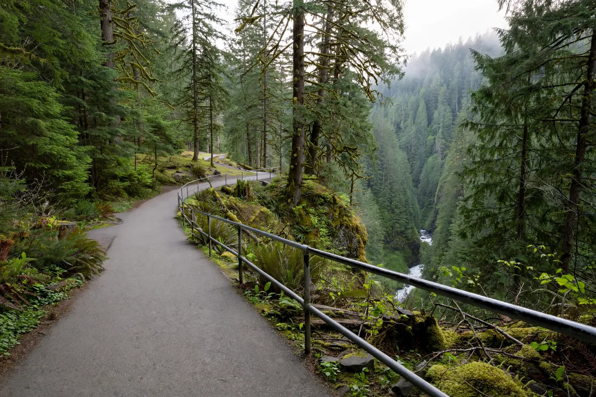
Start at the upper park if you want the easiest access to a viewpoint. The upper viewing platform is approximately 200 feet from the paid parking lot and is wheelchair accessible.
The Snoqualmie Falls Trail descends from the top to the lower observation deck in approximately 15 minutes. It drops 250 feet, and the trail is steep; the return climb is strenuous.
Bathrooms are available at the top and near the bottom. The lower falls trail is not handicap accessible, so you can instead drive to the lower parking lot if the hike isn’t suitable for your plans.
To reach the lower area by car, use the lot at 37479 SE Fish Hatchery Rd, Fall City, WA 98024. From the main falls lots, travel 1.5 miles toward Fall City, turn left on 372nd Ave NE and continue 0.3 miles, then turn left on Fish Hatchery Road and travel 0.5 miles.
Parking, Facilities, and Visit Timing
Parking options include free parking across the street and paid parking at $7 per hour. RV parking is available in the free lot. The park has five picnic tables, and barbecuing isn’t allowed.
Leashed dogs are allowed, though the official site discourages bringing them during busy periods. Drones and similar aircraft aren’t allowed. The falls are illuminated in the evening, but access hours remain sunrise to sunset.
A Simple Day-Trip Plan
Begin at the upper park. Take in its observation decks and viewing areas, and visit the visitor center if it fits your plans.
Choose whether to hike down. If you’re comfortable with a steep trail and strenuous return climb, take the trail to the lower observation deck. If not, drive to the lower lot using the directions above.
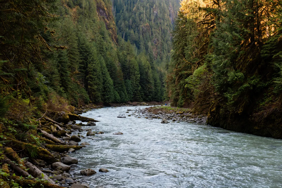
Make time for the lower viewpoint. The lower park has one viewing area. If you drive there, follow the lower-lot directions rather than assuming the upper and lower areas share a parking area.
Finish with a picnic or evening illumination. Use one of the park’s picnic tables or see the falls illuminated, keeping the sunrise-to-sunset access hours in mind.
This order keeps the upper viewpoints and the choice of trail or drive together, so you can decide how much walking suits the day before heading to the lower area.